The market for autonomous imaging drones will cross $40 billion by 2030, according to new projections that underscore how artificial intelligence has fundamentally altered aerial intelligence gathering for both commercial enterprises and defense organizations. These platforms operate without human pilots, relying instead on onboard AI systems that process sensor data in real time and execute flight plans independently. That autonomy matters because it eliminates the latency, cost, and regulatory complexity of piloted operations while enabling persistent surveillance missions that would exhaust human crews. Thermal imaging, LiDAR mapping, and edge-based analytics now ship as standard features on enterprise-grade systems, transforming what was once specialized military technology into mainstream infrastructure inspection and agricultural monitoring tools.
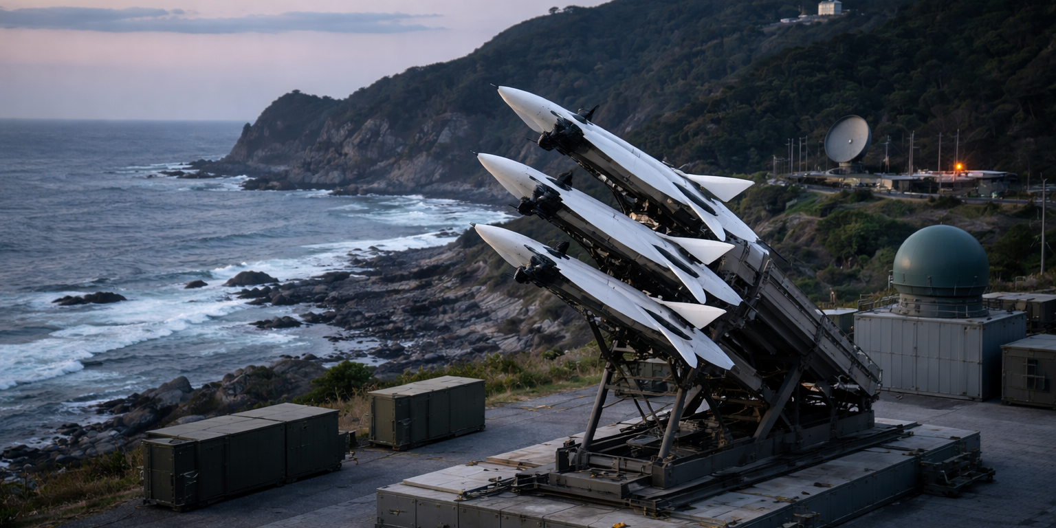
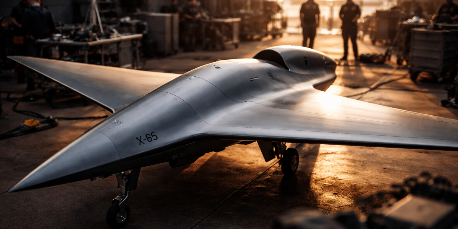
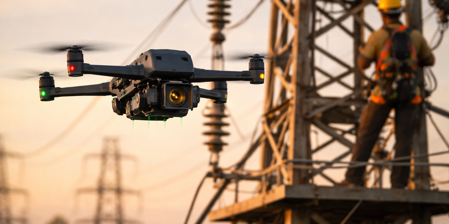
The shift toward autonomy accelerated as sensor fusion algorithms matured and edge computing hardware became powerful enough to run neural networks onboard without ground station support. Companies operating energy grids, rail networks, and telecommunications towers now deploy autonomous UAVs for routine inspection cycles that previously required manned helicopters or ground crews with climbing gear. These platforms fly preprogrammed routes, detect anomalies through thermal and visual analysis, flag maintenance priorities, and return to charging stations without human intervention. Defense procurement followed a parallel trajectory, with reconnaissance units adopting autonomous imaging systems for forward observation missions where communications links prove unreliable or contested. The technology proves particularly valuable in denied environments where GPS signals degrade and real-time human control becomes impossible.
LiDAR integration represents a critical technical milestone that expanded addressable markets beyond traditional aerial photography. These laser-based sensors generate three-dimensional point clouds that reveal structural deformities invisible to optical cameras, enabling utilities to measure conductor sag on transmission lines and forestry operations to calculate timber volume from aerial surveys. When paired with thermal imaging arrays, the systems identify heat signatures indicating electrical faults, gas leaks, or wildlife movement patterns. Edge processors synthesize these multi-spectral inputs through trained models that classify objects, measure changes over time, and trigger alerts when conditions exceed programmed thresholds. The computational architecture matters because uploading raw sensor data for cloud processing introduces bandwidth constraints and latency that undermine real-time decision making during time-sensitive operations like search and rescue or perimeter security.
Government adoption extends beyond defense into civilian agencies managing border security, disaster response, and environmental monitoring. Autonomous imaging drones now patrol vast stretches of coastline and international borders, identifying unauthorized vessels and ground movements through persistent aerial observation that human-piloted aircraft cannot sustain economically. Emergency management agencies pre-position these systems near wildfire zones and hurricane evacuation routes, launching them immediately after disasters strike to assess damage, locate survivors, and guide relief operations. Agricultural operations deploy fleets that monitor crop health across thousands of acres, generating normalized difference vegetation index maps that inform precision irrigation and fertilizer application. The common thread across these use cases is eliminating human pilots from routine missions while preserving or enhancing mission effectiveness through AI-driven autonomy.
The projected market growth reflects converging factors: regulatory frameworks in major economies now accommodate autonomous commercial operations under specific conditions, battery energy density improvements extended flight endurance beyond operationally useful thresholds, and component costs declined as consumer drone manufacturers achieved production scale. Enterprise buyers now evaluate autonomous imaging platforms the same way they assess any industrial sensor network—based on data quality, reliability, integration capabilities, and total cost of ownership. That shift from novelty to utility drove procurement beyond early adopters into mainstream industrial operations. Defense budgets increasingly allocate funds toward autonomous ISR platforms that complement or replace manned reconnaissance assets, particularly for missions where aircraft losses carry unacceptable political costs. The $40 billion figure captures hardware sales, software licensing, and associated services including pilot training programs for supervising autonomous operations and data analytics subscriptions that transform raw imagery into actionable intelligence products.
What to Watch: Monitor regulatory developments in the United States, European Union, and China regarding beyond-visual-line-of-sight autonomous operations, as expanded airspace access will directly impact commercial deployment rates. Track major defense prime contractors for announcements on autonomous UAV procurement contracts in the third and fourth quarters of 2026, particularly programs focused on swarm coordination and contested environment operations. Watch for enterprise fleet management platforms that coordinate multiple autonomous imaging drones as integrated sensor networks rather than individual aircraft, as this architecture represents the next phase of commercial adoption.